
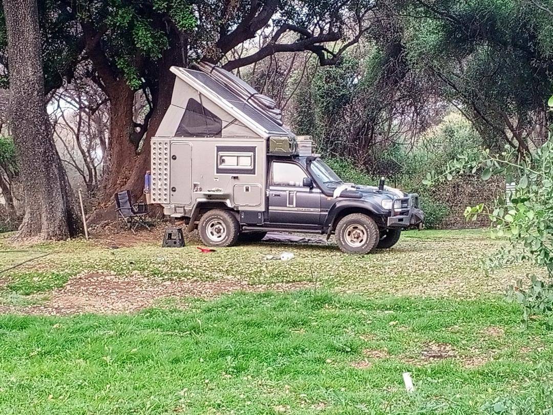
Short answer: from Kasane, drive about 99 km of tar west through the Chobe transit road and the Chobe Enclave villages to Kachikau, where the tar ends. From there it is about 47 km of deep sand to the Ghoha Gate of Chobe National Park, then about 30 km to the Savuti camp area. Allow 4 to 5 hours or more, and use a high-clearance 4x4 with low range. Savuti is a through route: the sand track continues south through Mababe Gate to Maun, about 200 km further on.
Key facts
- Total: about 170 to 180 km from Kasane. From Lorato in Muchenje it is about 106 km, roughly 4 hours 15 minutes.
- Tar ends at Kachikau. The deepest, most undulating sand is between Kachikau and Ghoha Gate.
- Through route to Maun: Savuti is not a dead end. From Savuti the sand track runs south through Mababe Gate and the Khwai area to Maun, the main town and gateway to the Okavango Delta, about 200 km in total.
- Vehicle: a real 4x4 with low range and high clearance. Travel with a second vehicle if you can.
- Rains: roughly November to April. Savuti's black cotton soil turns to slick clay, and roads close after heavy rain.
- Camping: the Savuti campsite is run by SKL (14 sites, per SKL). Book months ahead for the dry season, and ask SKL for this year's rate.
- Park fees: BWP 270 per day for an international adult in Chobe (reported for 2022 and again for 2026, checked 23 October 2026), paid separately from the campsite.
- Fuel: fill up in Kasane or at the Shell in Muchenje, about 1 km from Lorato. There is no reliable fuel after Muchenje.
The route, segment by segment
| Segment | Distance | Surface |
|---|---|---|
| Kasane to Sedudu Gate (sign in for the transit road) | 3 to 5 km | Tar |
| Sedudu Gate to Ngoma Gate (Chobe transit road) | about 50 km | Tar |
| Ngoma Gate to Kachikau, through Muchenje, Mabele and Kavimba | about 40 to 45 km | Tar |
| Kachikau to the T-junction (right to Linyanti, left to Ghoha) | about 40 km | Deep sand cutline |
| T-junction to Ghoha Gate | about 7 km | Sand |
| Ghoha Gate to the Savuti camp area | about 30 km | Sand, easier inside the park |
| Savuti camp area to Mababe Gate (onward to Maun) | about 70 km | Sand, black cotton soil when wet |
| Mababe Gate to Maun, through Khwai and Shorobe | about 130 km | Sand, then tar from Shorobe |
Distances from lodge and campsite direction sheets (Ghoha Hills, Camp Savuti, Machaba) and Ostrich Trails. Sources give Kasane to Kachikau as 93 or 99 km. Onward distances to Maun are from our Kasane to Maun route notes.
At Sedudu you sign in to the transit road; at Ngoma Gate you sign out. About 300 m after Ngoma Gate, turn left for Kachikau and Savuti, which is signposted. Kachikau (marked Kachekabwe on some maps) has small shops selling a limited range of drinks and food, and you can re-inflate tyres there on the way back. Past Kachikau you enter the Chobe Forest Reserve and the sand gets deeper.
Driving the sand: vehicle, tyres and recovery
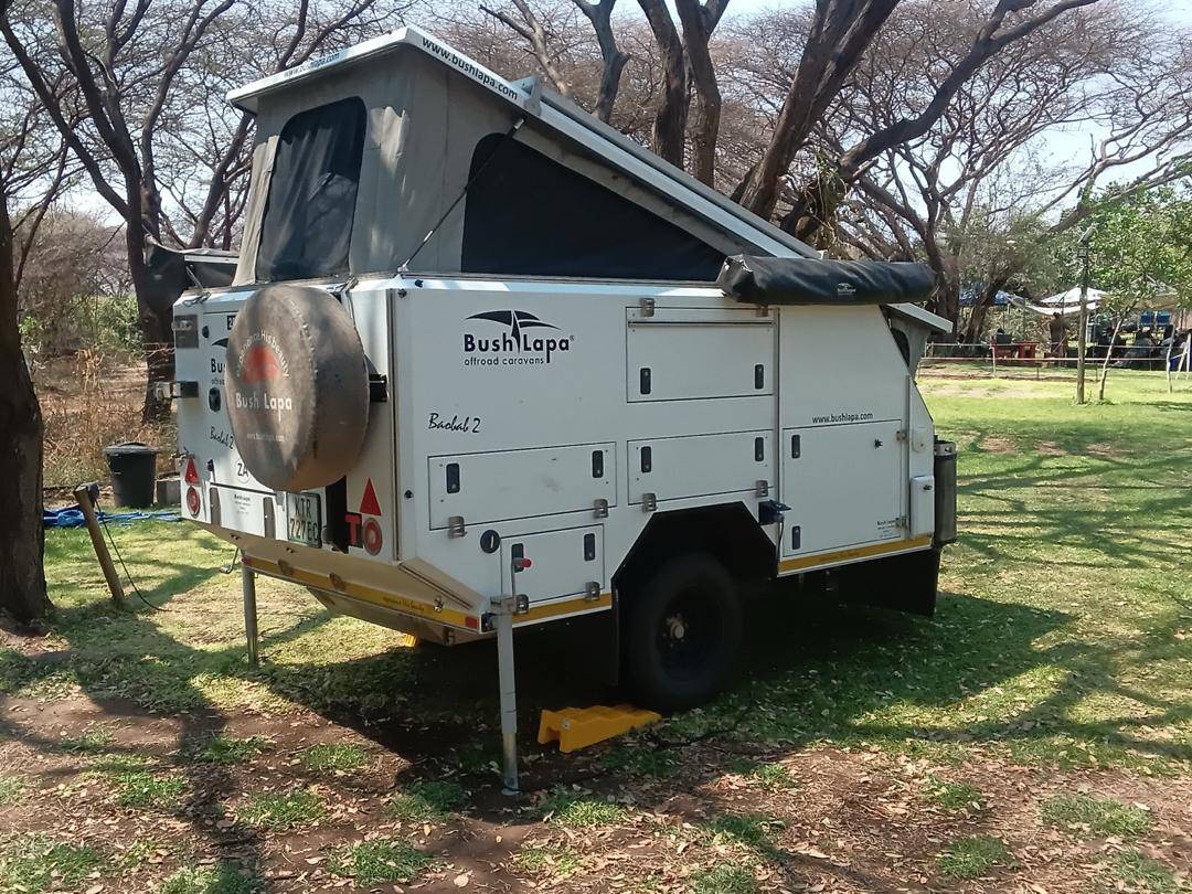
- Vehicle: only a true 4x4 with low range and good clearance. Lodges on the route suggest at least 220 mm of clearance and all-terrain or mud-terrain tyres, and two spare wheels for Savuti.
- Tyre pressures: there is no official figure. Self-drive guides suggest dropping to roughly 1.2 to 1.6 bar for deep sand, depending on the vehicle and load. Deflate where the tar ends at Kachikau, and re-inflate when you are back on tar.
- Technique: engage low range before the deep sections, keep smooth momentum, and do not stop on uphill sand.
- Recovery gear: traction boards, a shovel, a tow strap, a pressure gauge and a compressor, and a high-lift jack if your vehicle suits one.
- Go in convoy: the Department of Wildlife and National Parks advises against travelling alone in these areas. Mobile signal is poor, so carry a satellite phone or communicator.
Road conditions: last checked 23 October 2026
Conditions change day to day, and we are not a road authority. On 23 October 2026 we found no current closure notice for the Savuti, Mababe or Ghoha roads. The most recent official notice we found is the Department of Wildlife and National Parks advisory of 23 January 2026, reported by ATTA: the Mababe to Savuti Marsh Road was closed, the Sand Ridge Road was open with deep standing water, and the Ghoha to Linyanti boundary road was closed. October is the start of the hot season and the rains are expected from about November, so recheck before each leg.
- Ask us: message Lorato on WhatsApp (+267 7430 4407) before you leave. We will pass on what we know, and you should still confirm with the park gate or your Savuti campsite on the day.
- Ask the gate or your campsite: SKL runs the Savuti campsite, and the gates are the best source on the day. We could not verify a direct phone number for Ghoha Gate, so get the current number from your campsite booking.
- Travel with a second vehicle and carry a satellite communicator, as DWNP advises against travelling alone.
The rainy season and road closures
The rains fall roughly from November to April. Savuti has large areas of black cotton soil, a dense clay that becomes slick and sticky when wet, and it is the biggest obstacle for green-season drivers. Some roads close after heavy rain.
In January 2026, after heavy rain, the Department of Wildlife and National Parks closed the Mababe to Savuti Marsh Road and the Ghoha to Linyanti boundary road, reported standing water on the Sand Ridge Road, and advised visitors not to travel alone. Inside Savuti, whether you use the Marsh Road or the Sand Ridge Road depends on the season: ask at the gate on the day.
Before you go in the green season: check with your campsite or the park gate for current road conditions, and allow extra time.
Booking the Savuti campsite, and park fees
Camping in Savuti means two separate payments:
- The campsite: the Savuti campsite is run by SKL Group of Camps and has 14 sites, with ablution blocks with showers and communal braai areas (per SKL). SKL publishes rates and booking terms on its booking page and changes them each year, so we do not quote a figure: ask SKL for this year's rate and deposit terms. Book months ahead for June to October, when the sites fill. For Ihaha and Linyanti as well, see Chobe National Park campsites.
- Park entry: paid to the Department of Wildlife and National Parks. Daily entry in Chobe is reported at BWP 270 for international adults, BWP 205 for SADC residents and BWP 30 for citizens (Tourism Update, 2022, and SafariFind, 2026), plus a daily vehicle fee, reported at BWP 115 for a foreign-registered vehicle under 3,500 kg. We found no official DWNP schedule online, so confirm with DWNP.
Park fees are paid in cash, in pula, at gates such as Sedudu in Kasane or at the DWNP offices; card machines are unreliable. We could not confirm whether Ghoha Gate takes payment, so arrange your permit in Kasane before you head for Savuti.
Fuel, water and food before you leave the tar
- Fuel: there is a Shell fuel station in Muchenje, about 1 km from Lorato. It takes cards and cash, and it is the last fuel before the sand. Kasane also has fuel. Sand driving uses far more fuel than tar: carry a reserve.
- Water: carry at least 5 litres per person per day, plus a reserve. There are no shops once you leave Kachikau.
- Food: buy groceries in Kasane (Spar, Shoprite, Choppies). Muchenje village has a butchery and small shops with very basic groceries, and Kachikau only has small shops. There are no supermarkets near the Ngoma border.
- Cash: draw pula in Kasane for park fees and small purchases. There are no ATMs in the Muchenje area.
About Savuti: is it in Chobe or the Okavango?
Savuti is inside Chobe National Park, in its south-western part, not in the Okavango Delta. It is known for its big predators, including lion, cheetah and hyena, and for lions that hunt elephants late in the dry season. The Savuti Channel is famous for drying up and flowing again: water returned in 2008, flowed strongly from 2013 to 2015, then dried from 2016, and Wilderness reported water moving in the channel again in June 2026.
Where to stay before Savuti: the Chobe Enclave
Many self-drivers leave Kasane in the afternoon and cross the park on the transit road, then need a place to sleep before the sand. The villages of the Chobe Enclave (Muchenje, Mabele, Kavimba and Kachikau) sit on the last stretch of tar, so a night here means you start the sand early and fresh, with full water tanks and charged batteries.
Onward to Maun: Savuti is a through route
Savuti is not a dead end. The sand track carries on south from Savuti, through Mababe Gate and the Khwai area, to Maun, the main town and gateway to the Okavango Delta. Savuti to Maun is about 200 km and around 5 hours in good conditions, and much longer after rain.
- Savuti to Mababe Gate: about 70 km on sand, 3 to 5 hours. The black cotton soil becomes impassable when wet.
- Mababe Gate to Maun: about 130 km, through Khwai to Shorobe, where the tar begins for the last stretch into Maun.
- Fuel: we found no fuel stations between Kachikau and Maun, including at Khwai. Carry a reserve from Muchenje or Kasane.
- Overnight: most people sleep a night at Savuti and another at Khwai, so book campsites ahead.
- Check before you leave: the Mababe to Savuti Marsh Road closes in the wet season, so ask at the gate on the day.
Navigation: for detailed track navigation, use Tracks4Africa. Its Garmin-compatible GPS maps cover Africa and can also be used on a PC to plan routes, and its paper maps cover Botswana and Namibia, so you still have a map if your phone loses signal. See tracks4africa.co.za.
For the full comparison of this sand route with the tar road via Nata, see our Kasane to Maun guide.
Frequently asked questions
How far is Kasane from Savuti?
About 170 to 180 km: roughly 99 km of tar from Kasane to Kachikau, then about 47 km of deep sand to Ghoha Gate and about 30 km to the Savuti camp area. Allow 4 to 5 hours or more.
Is the road from Kasane to Savuti tarred?
Only as far as Kachikau. From Kachikau to Ghoha Gate the road is deep sand, and inside the park the tracks are sand too. You need a high-clearance 4x4 with low range.
What tyre pressure should I use for the Savuti sand?
There is no official figure. Self-drive guides suggest roughly 1.2 to 1.6 bar for deep sand, depending on your vehicle and load. Deflate at Kachikau and re-inflate back on the tar.
Can you drive to Savuti in the rainy season?
Sometimes, but it is much harder. Savuti's black cotton soil becomes slick when wet and roads close after heavy rain. In January 2026 the Mababe to Savuti Marsh Road and the Ghoha to Linyanti boundary road were closed. Check conditions before you go.
Is Savuti in Chobe National Park or the Okavango Delta?
Savuti is inside Chobe National Park, in its south-western part. It is not part of the Okavango Delta.
How do I book a campsite at Savuti?
The Savuti campsite is run by SKL Group of Camps, which has 14 sites. Ask SKL for this year's rate and deposit terms. Park entry fees are paid separately to the Department of Wildlife and National Parks.
Are the Savuti roads open now?
We found no current closure notice on 23 October 2026. The last official advisory we found was from 23 January 2026, when the Marsh Road was closed. Check with the gate or your campsite on the day, or message Lorato on WhatsApp.
Where is the last fuel before Savuti?
There is a Shell fuel station in Muchenje, about 1 km from Lorato, which takes cards and cash. It is the last fuel before the sand. Kasane also has fuel. Carry a fuel reserve for the sand.
Does the road from Savuti continue to Maun?
Yes. Savuti is a through route. The sand track runs south through Mababe Gate and the Khwai area to Maun, about 200 km and around 5 hours in good conditions. It takes much longer after rain, and we found no fuel between Kachikau and Maun. Carry a reserve.
Where should I stay the night before Savuti?
In the Chobe Enclave, on the last stretch of tar before Kachikau. Lorato Lodge and Camping in Muchenje is about 106 km from Savuti, at a green grass campsite with solar power, hot showers and free Starlink Wi-Fi for $20 per person per night. You can check in at any time.
More guides for your route
Sources
Checked 23 October 2026. Rules, hours and fees change, so confirm with the official source before you travel.
- Ghoha Hills Savuti Lodge: transfer and directions sheet
- Camp Savuti: directions sheet
- Machaba Safaris: self-drive directions from Kasane
- Ostrich Trails: Savuti
- ATTA: Chobe issues critical road advisory after heavy rains (January 2026)
- SKL Group of Camps: Savuti campsite (14 sites, facilities)
- SafariFind: Botswana national park fees 2026 (secondary source)
- Tourism Update: Botswana increases park and licence fees (effective 1 April 2022)
- Botswana Tourism Organisation: Savuti and Linyanti
- Wilderness: what happens when Savuti's vanishing river returns (June 2026)
- Drive South Africa: Botswana green season safari guide
- Tracks4Africa: GPS and paper maps for Africa, including Botswana and Namibia
- Distances from Lorato: OpenStreetMap data via OSRM routing, September 2026